Drones have become a valuable technology in the railway and road construction industry, thanks to their cost-effectiveness and efficiency. They are used for a variety of purposes, including surveying, mapping, and monitoring projects on linear assets such as rail and road tracks.
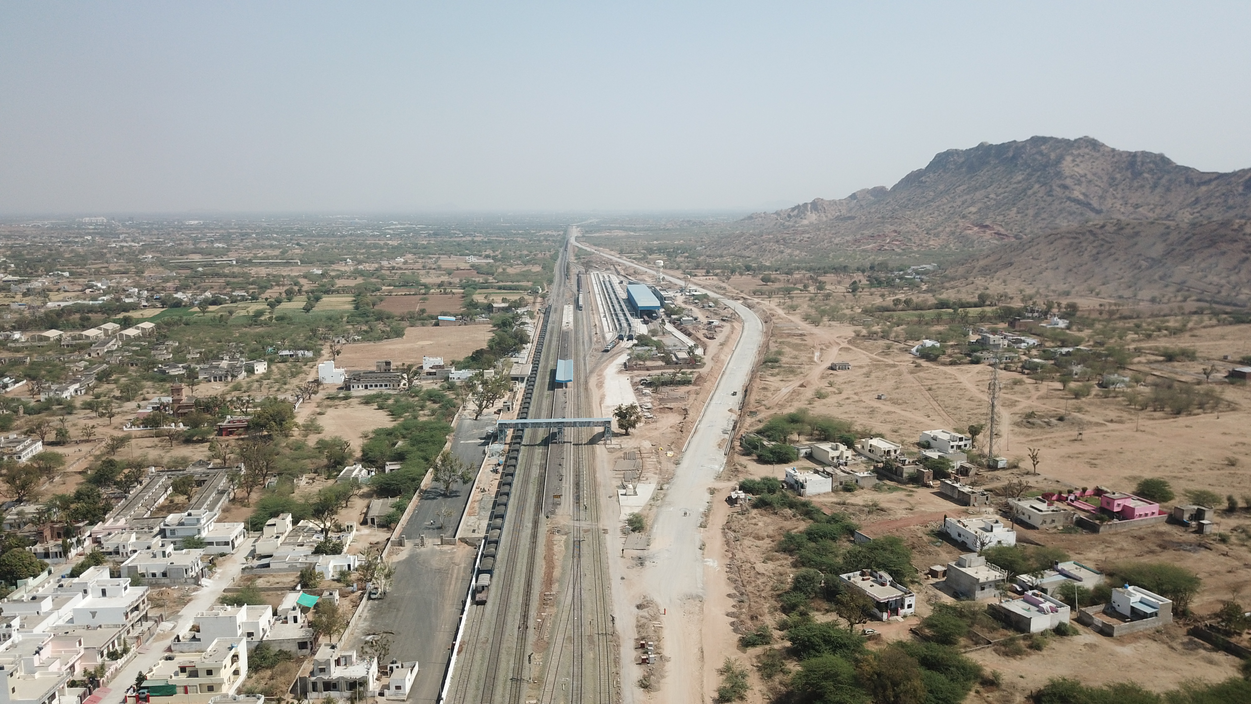
Surveying is one of the primary uses of drones in railway and road construction. Drones equipped with high-resolution cameras and laser scanning technology can accurately survey large areas and provide detailed information on the terrain and existing infrastructure. This information is crucial for the planning and design of railway and road projects.
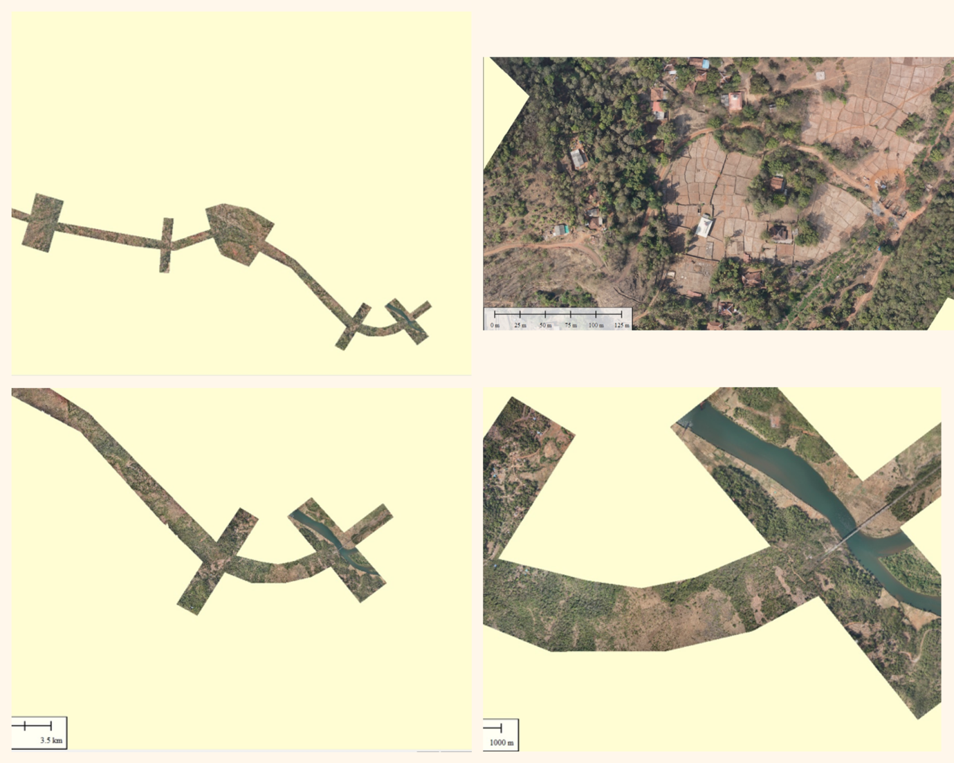
Mapping is another important use of drones in railway and road construction. With photogrammetry software, drones can take thousands of photographs of an area and create detailed 3D maps. These maps help identify potential hazards and obstacles, as well as plan the construction of new railway and road infrastructure.
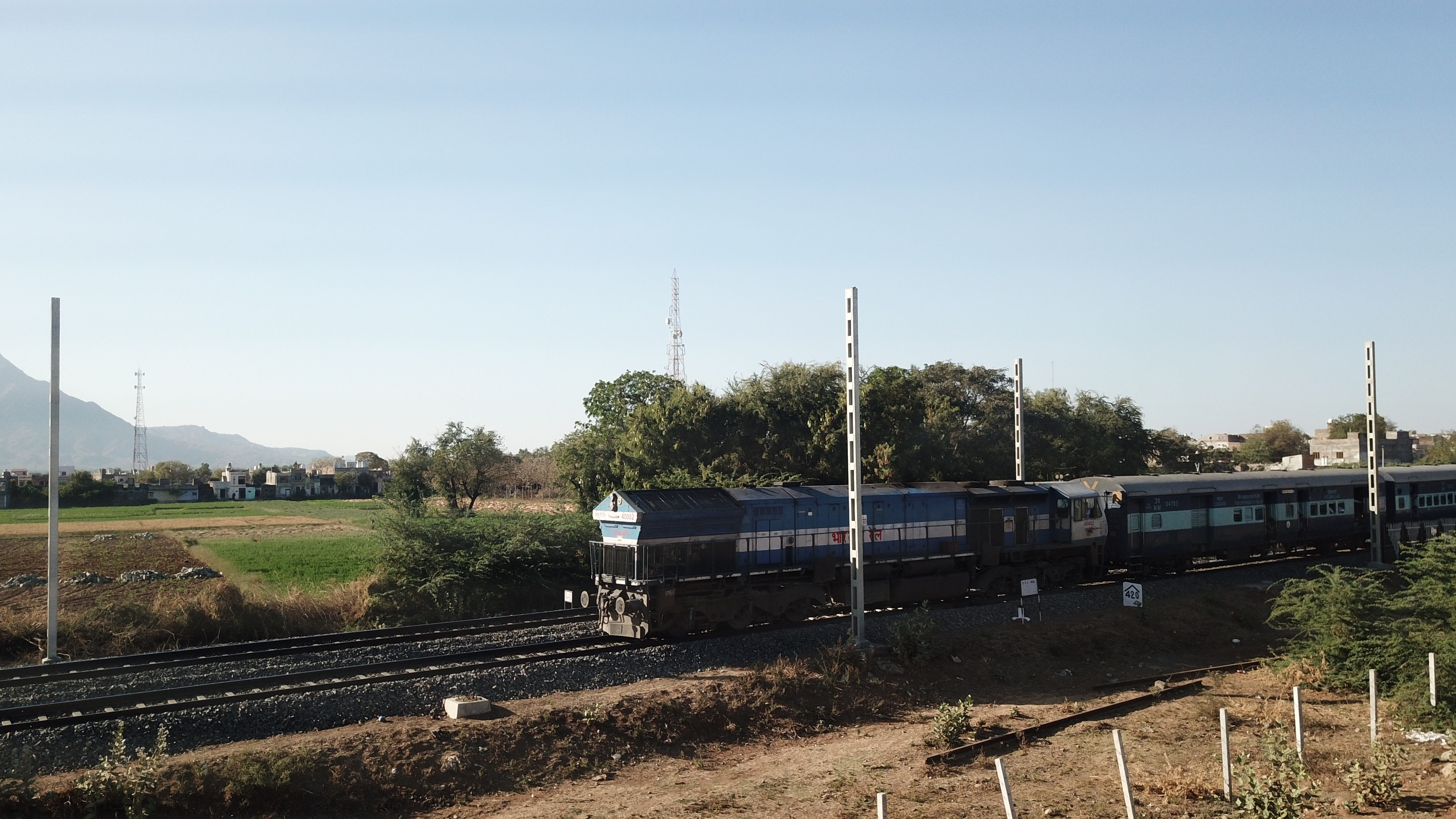
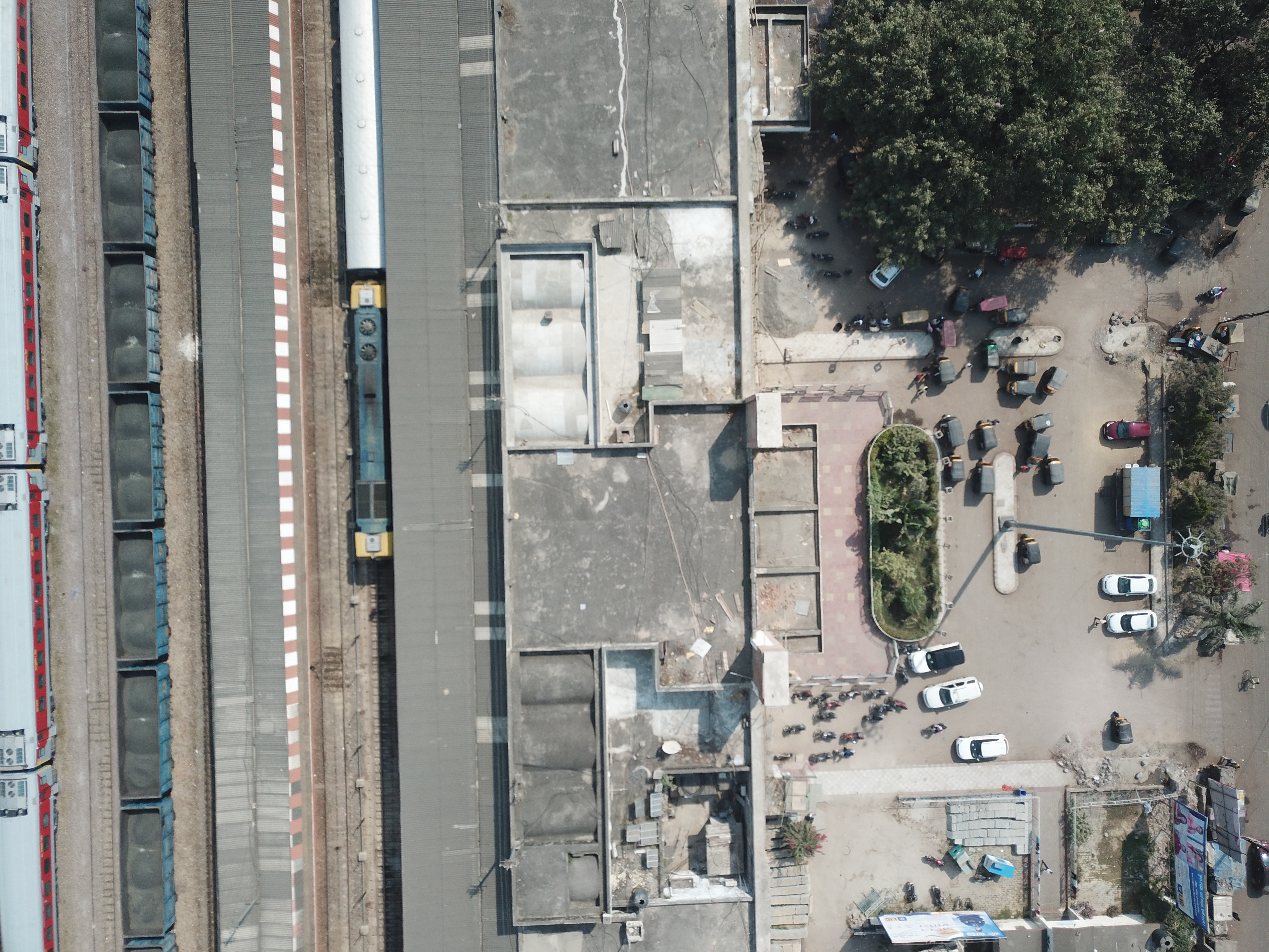
Monitoring is another key use of drones in railway and road construction. Drones equipped with cameras and sensors can monitor the progress of construction projects, identify potential issues, and ensure safety standards are met. They can also inspect existing infrastructure, such as bridges and tunnels, to identify signs of wear or damage.
In summary, drones provide several benefits in railway and road construction, including improved safety, increased efficiency, and cost savings. With the ability to survey, map, and monitor large areas quickly and accurately, drones have become an essential tool for the industry, particularly for linear assets like railways and roadways.