Transform your business with drone based solutions
Get access to digitised reports and insightful data to make informed decisions generated using our dashboard solutions!
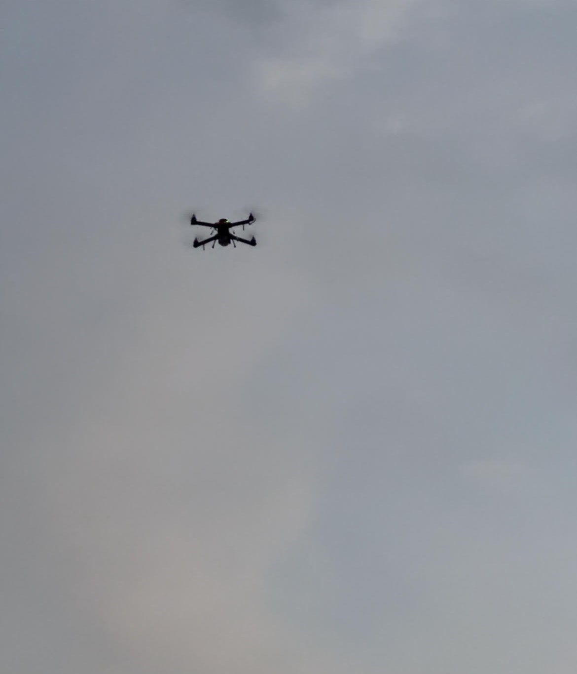
High-Resolution Orthophoto Maps with Digital Elevation Generate highly accurate and high-resolution maps with our in-house technology to enable detailed data analysis for planning.
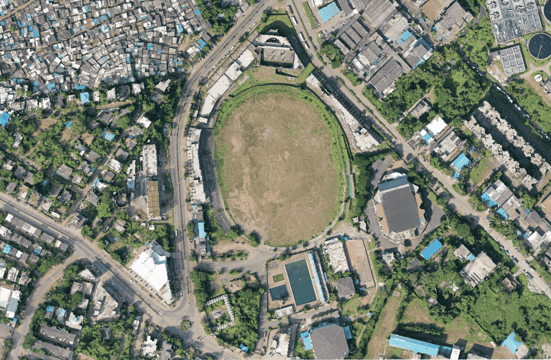
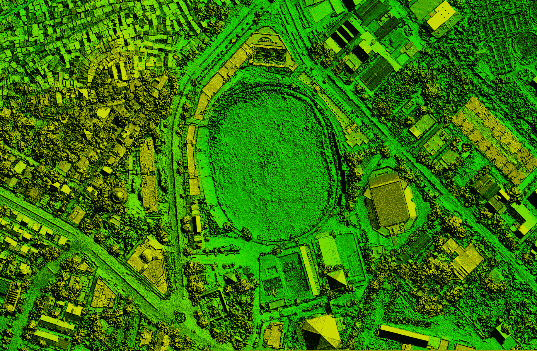
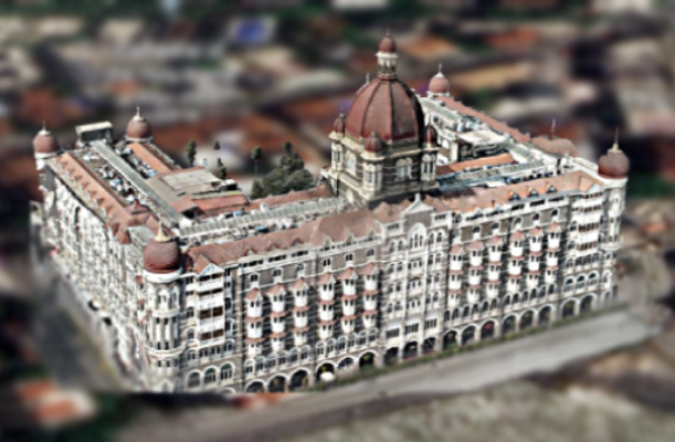
Digital Twins and Realistic 3D Models Reconstruct high quality digital 3D assets and structures using drone data for cities, infrastructure or heritage sites with high-density point cloud which is superior to traditional surveys.
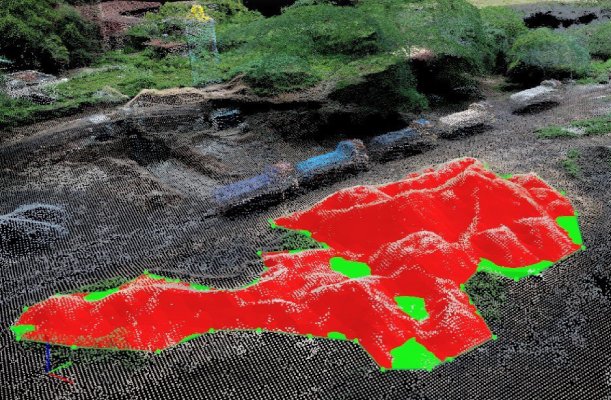
Dimensional Surveys on Fingertips Enabled by powerful sensors and processing, evaluate accurate volumetric figures for any structure using dimensional analysis during the aerial survey.
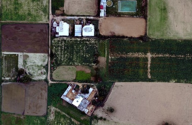
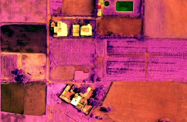
Real Time Scientific Analysis on Feed with Multispectral Imagery Capture real time data using powerful data models and multispectral imagery to generate index maps and evaluate plant health.
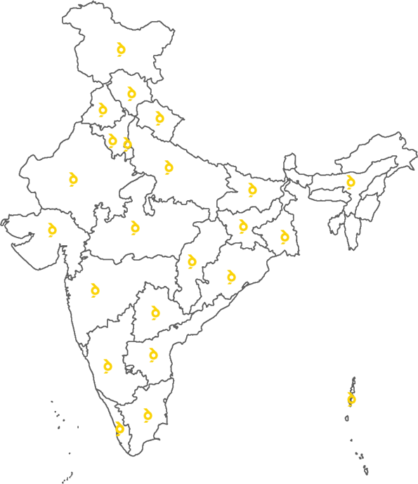
Spanning over 20+ states in India, Indrones is recognised as one of the leading innovators in the drone industry.
















Indrones is one the most innovative company we have come across with their focus on customer problem solving. SCCL became on the leading Mining companies in India to deploy Drones for topographic surveying, pre-mining surveys and land acquisition strategies for new lease areas.
Indrones has become our internal drone partner with strategic and flexible offerings with great team of experts ready to explore new innovative use of Data collected through drones for our hazard management applications.
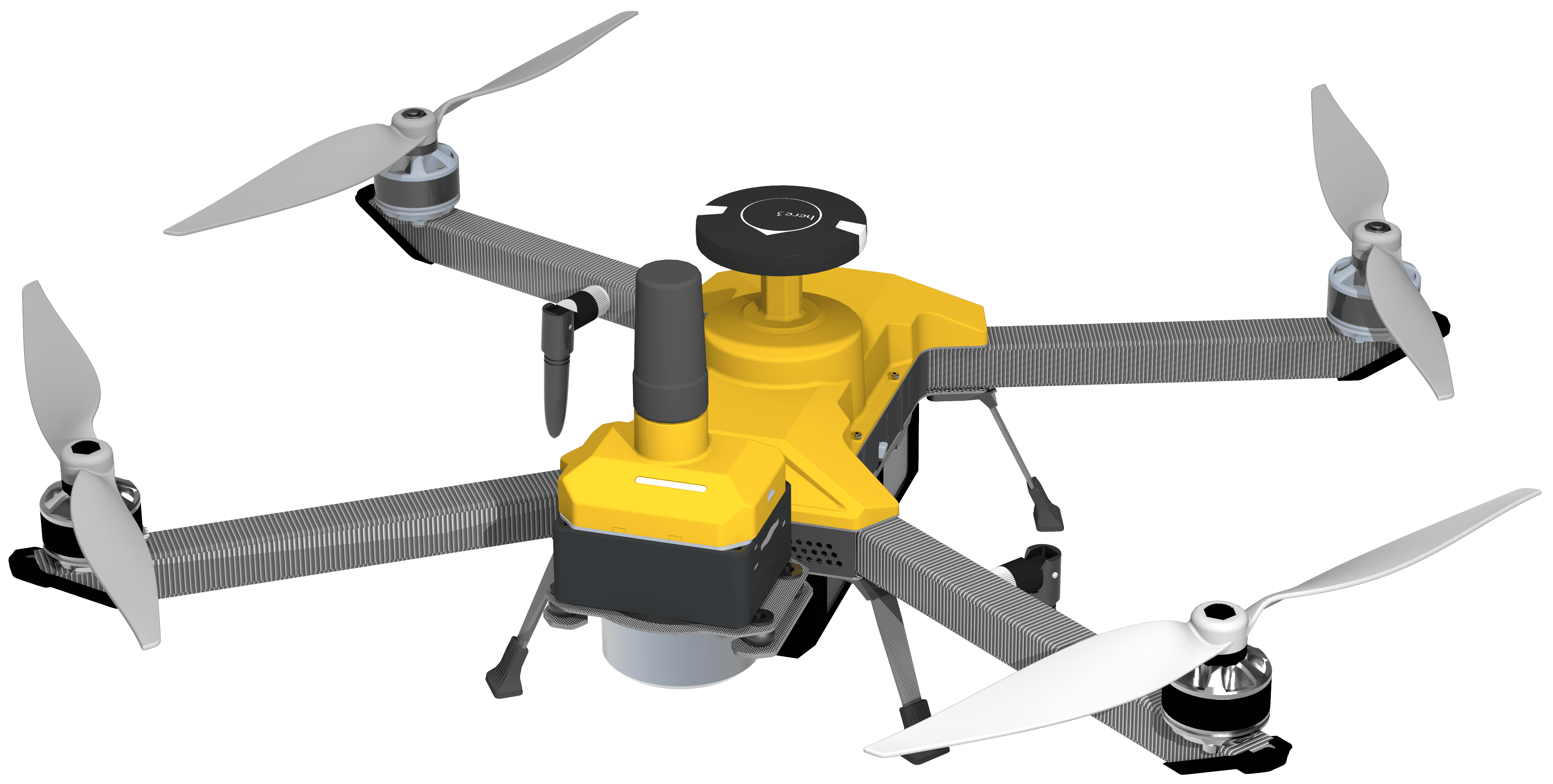
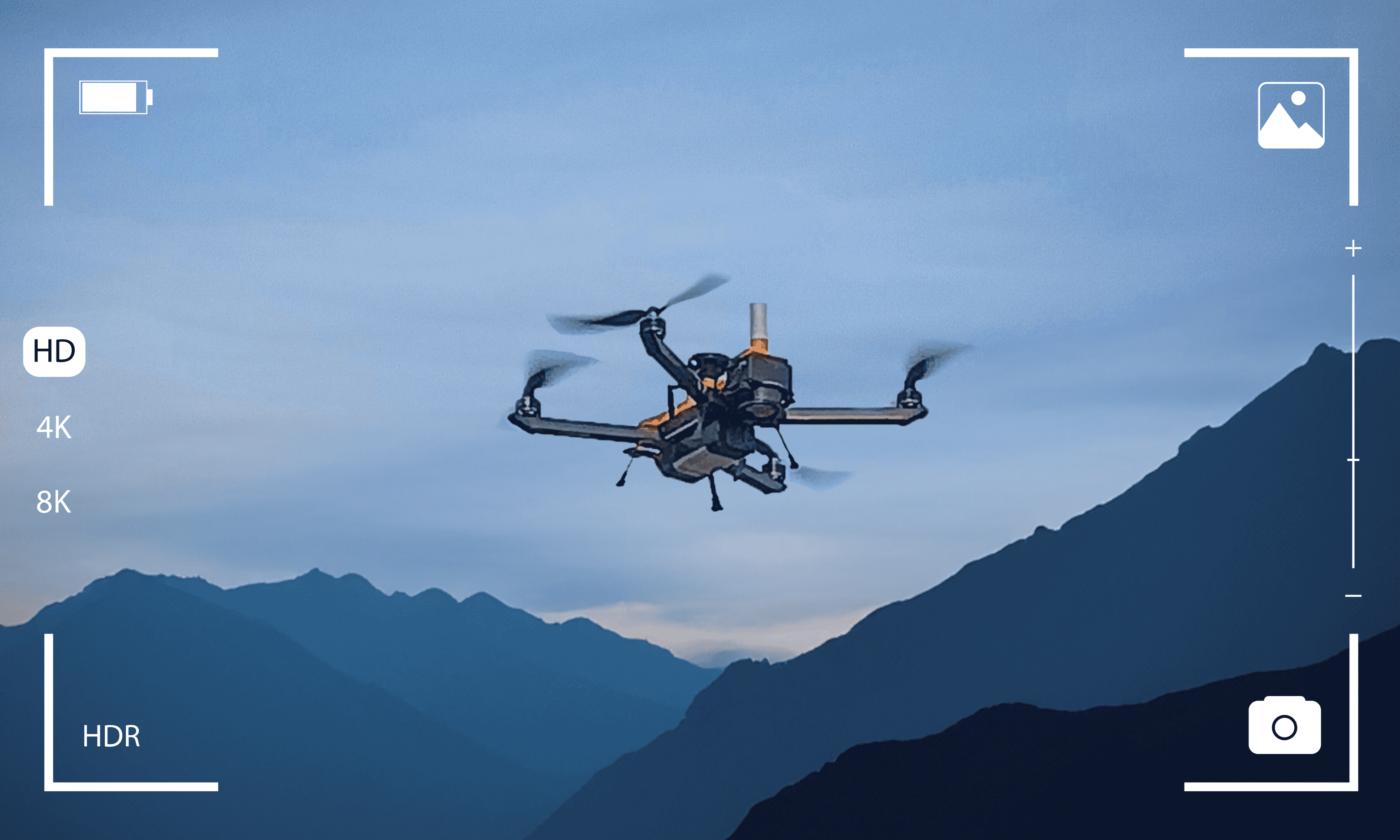
Here's your chance to get our drones at their lowest price. Valid until March 31st, 2024.
Get Started